Video courtesy of FAU DoR
About the Environmental Geophysics Lab
The Environmental Geophysics Lab in the Department of Geosciences at FAU focuses on the use of near-surface hydrogeophysical methods to investigate a wide array of environmental issues at both the laboratory and field scales.
The Lab focuses on several major areas of research:
|
|
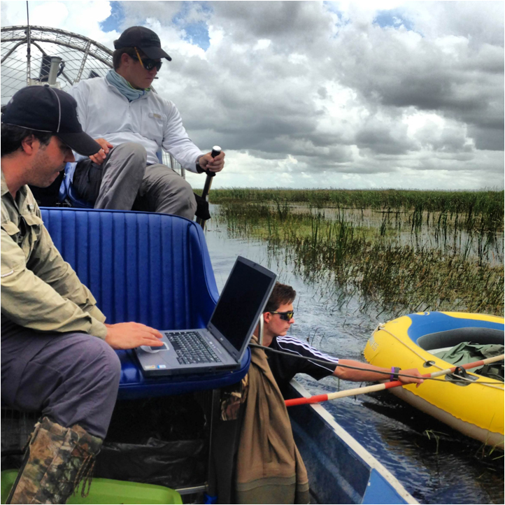
Peatlands Geophysics : based on the use of non-invasive geophysical methods to investigate peatland morphology, dynamics and biogeochemical cycles (such as carbon). Specific areas of interest include: subsurface imaging of peat sediments and implications for peatland development and evolution; carbon cycling studies in peat soils including quantification of carbon stocks and biogenic gas dynamics (such as carbon dioxide and methane) in peat soils, from tropical to boreal peatlands; electrical, electromagnetic and hydrological properties of peat soils; biogenic gas quantification and determination of the spatial and temporal distribution of ebullition fluxes in peat soils (both at the laboratory and field scales) and their implications for climate change; and effects of sea-level rise for biogenic gas dynamics in peat soils. |
|
|
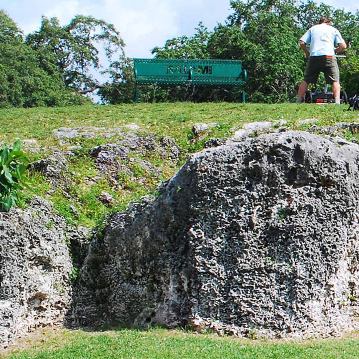
Karst Geophysics : based on the use of non-invasive geophysical methods to investigate karst environments. Specific areas of interest include: imaging of dissolution features and sinkhole distribution in karst environments; formation and evolution of karst landforms and formations (such as tufa mounds); electrical, electromagnetic and hydrological properties of limestone sediments; determination of physical properties (e.g. porosity and dielectric permittivity) of limestone sediments such as the Miami limestone at both the laboratory and field scales, and their implications for sea-level rise. |
|
|
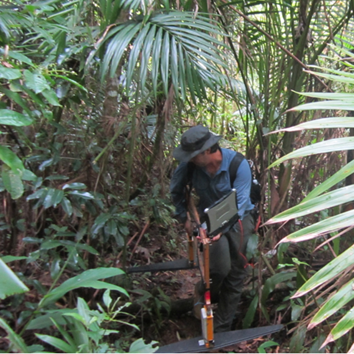
Critical Zone Geophysics : based on the use of non-invasive geophysical methods to investigate the critical zone. Specific areas of interest include the characterization of weathering rates and bedrock thickness in the Luquillo Critical Zone Observatory (CZO) using electromagnetic methods.
|
|
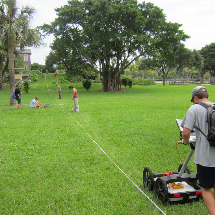
Other applications : such as the use of hydrogeophysical methods for archaeological applications and biological studies. Current projects include the characterization of the internal structure of Native American shell mounds in Florida and implications for their origin; or characterization of endangered lizard nests. |
Projects range from peat studies in boreal systems in Maine and Minnesota to tropical systems in Indonesia and Ecuador including a wide range of subtropical systems such as the Everglades. Projects related to Karst Geophysics include sites in South and Central Florida, and international collaborations investigating tufa mounds and carbonate dissolution features in several sites across Spain. Several links with further information about some of the Lab's current ongoing collaborations are shown below.
The lab is equipped with state-of-the-art geophysical equipment with an emphasis in electromagnetic methods such as ground-penetrating radar and terrain conductivity and provides hands-on research opportunities for both undergraduate and graduate students. For further information on current projects, people and publications please visit the links above or click here for contact information.
Useful links:
Luquillo Critical Zone Observatory Methane Cycling in Northern Peatlands (Rutgers University website) Carbonate Aquifer Characterization Laboratory (USGS website) Department of Energy, Terrestrial Ecosystem Science (DOE-TES website, summary of projects awarded) NOAA, Climate Program Office (NOAA website, funded awards)


